Thursday, June 25, 2015

A Deer in the Headlight (No, Really)

This past week has been a heck of a week filled with a lot of humor and reality checks, so I’m taking a break from hiking stories to share the tragic tale of Blue Barry, my 2005 Chevy Cavalier that has traveled over 155,000 miles with me to almost every corner of the state.

The story of Blue Barry's demise begins with the Northern Lights. Most people in Wisconsin have been well aware that the Northern Lights have been all aglow across the state this week. Click here to see some examples sent to my work recently.

When I was growing up I used to see the Northern Lights about once every other year at my home on the outskirts of Neenah. Everyone in the neighborhood would stand on their front lawns with mouths agape staring at the ribbons of green dancing in the night sky. I haven't seen them since I left for college (which was awhile ago).

The most incredible lights I’ve ever seen were on a cold January evening. My friends and I were walking home from a concert at the local high school. It was only a few blocks away, late at night and less than zero degrees, when Jason, Mike, Erica and I stopped dead in our tracks. The sky was a giant tie-dye shirt with ebbs and flows of pulsing colors shimmering pink, yellow, orange, and green. We were shivering, but none of us could move. I think the only words spoken were “oh my goodness” in breathless awe. This was before the era of cell phone cameras so none of us took a photo. But we didn’t have to. The memory is still vivid to me. (As life comes full circle for me, this week is also the anniversary of when Jason and Mike were killed in a tragic accident six months after we experienced the great tie-dye in the sky.)

Monday night while I was nestled in my bed, residents all over the state took phenomenal photos of the Northern Lights weaving across the night sky. The following morning, when the radio informed me that it was happening again, I quickly told my coworker (and occasional hiking companion) Danielle that we should try to see them. We agreed to meet around 10:30 p.m. at the 
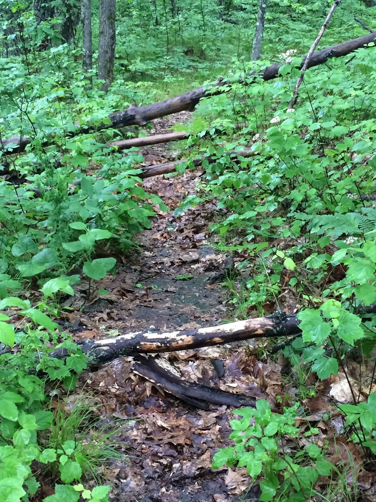
Pheasant Branch Conservancy in Middleton.

In between my home and the Pheasant Branch Conservancy are two rather large lakes so I had to choose between heading south along the highway or north along several isolated country roads. I opted to head north.

Along the way, I hit a deer.


There are so many elements to this particular part of the story that I’m not really sure where to begin.

First, I never saw the deer coming despite my diligence. I was driving slower than usual and paying close attention to the dark road. It was only on impact that I saw the deer and it turned towards me with a look that I can only describe as surprise, pain and death.

Instead of my typical scream of expletives that fly from my mouth when I’m startled, I calmly yelled a very disapproving “Hey!”

While there was clearly damage to my car (you know, with my hood being lumpier than usual), my car still drove fine and there was no way I wanted to stop along a dark narrow-ish road where I could get hit by oncoming traffic.

I continued to the conservancy and met up with Danielle. She was impressed (and perhaps concerned) about my complete lack of freaking out or crying. The way I saw it, there was nothing I could do. It was too late at night to call anyone and my car still seemed drive-able.  We looked at the damage via 
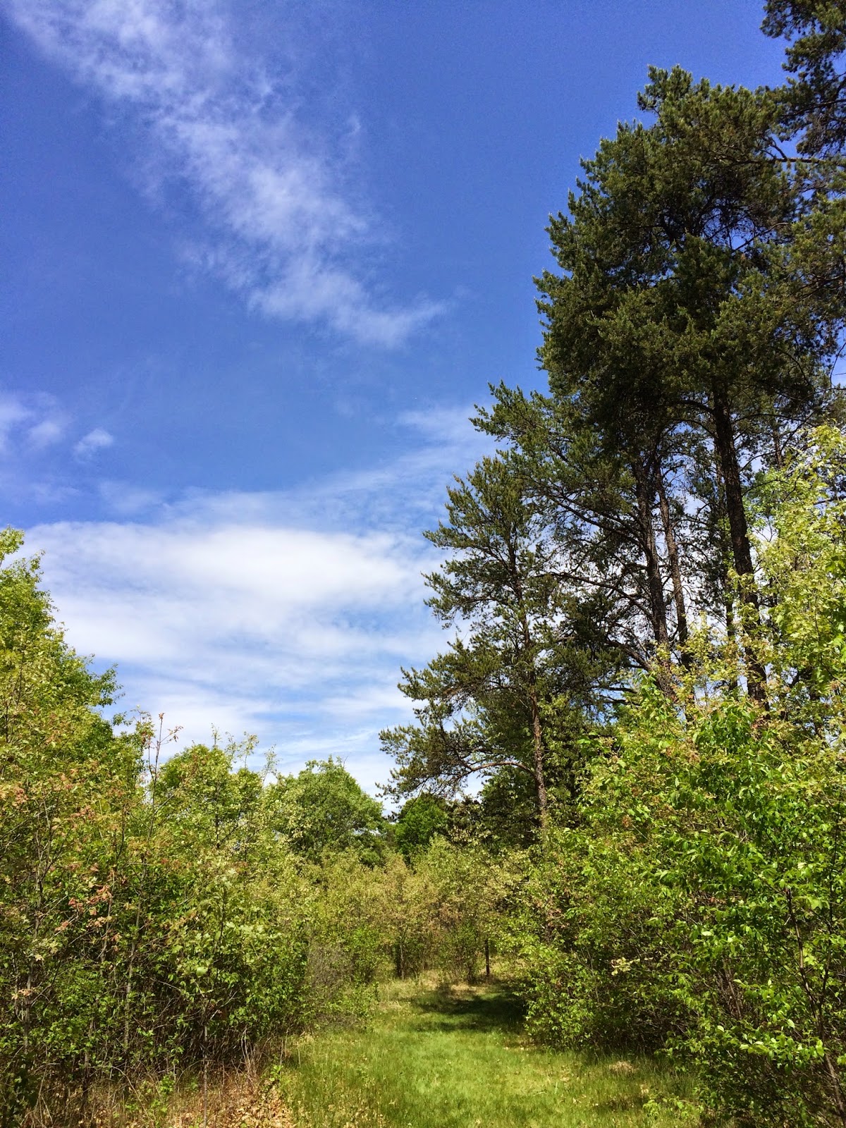
flashlight and then decided to head for an open space to watch the night sky.

That’s when the shooting star happened. I had never seen a shooting star before. While it was brief, it was simply beautiful the way that shimmering light arched across the black sky.

For me, that made the trip worth it.

Danielle and I sat in the conservancy for about 45 minutes and never saw the Northern Lights. However, I did learn that Late Night Danielle is giddy and silly and afraid of the dark.  It was an entertaining evening and the perfect distraction. I laughed a lot.

My drive home got a little trickier. I wisely chose to take the brightly lit, well-traveled-through-town highway. Along the way various lights began to ding and/or flash on my dashboard. I think that's when it started to sink in that this was Blue Barry's last trip.

Here are some things you should probably know about me and my car.

I've loved my car since the first moment I saw it. I love the color, the size, the maneuverability, and the gas mileage. It fits me and my personality. However, Blue Barry sometimes gives me sass and vice versa. In less than a year of ownership, I sideswiped a pick-up truck on a rainy night and had to have the passenger side fixed (trust me, this is a story in and of itself). Since then I've reversed into large dumpsters, scraped along a concrete column in my work parking garage, had to have the dashboard replaced, removed pieces of the car that I'm not sure belong, and replaced the contraption that holds the muffler in place twice. My car is covered in hail spots, dings, dents, and rust. The tires are terrible in the winter, my rear wheels make a high-pitched squealing noise every time I have to drive in the rain, and the windshield wiper fluid has frozen every. single. winter. since I first purchased it, often making them useless. It's been a journey, but I still love this car.

I've been needing to replace Blue Barry for the past few years, especially since I've invested more money into him than his worth. (Let's face it, if my dad was not a mechanic, Blue Barry would have left me years ago.)

Three weeks ago I learned that my car had a blue book value of about $200. I called my insurance agent and let him know that I didn't think I should pay premiums for collision or comprehensive insurance any more.  No matter what I did to my car from here on out the damage would be more than the value of the car. My agent was polite, but firm, and told me that he wasn't sure that was a good idea.  "After all," he said "anything can happen, what if you swerve to miss a squirrel and hit a tree, or what if you hit a deer?"

I guffawed. In retrospect, this was the exact moment I sealed my fate.  

"Trust me," I said. "I'm not worried about hitting a deer.  In my entire life, I've never even been riding in a car that has hit one. The odds are in my favor."

I cringe even now.

As my brother told me on the phone last night in amused disbelief, "Why would you say that?! Honestly, Amy, because of that, you're the one whose responsible for that deer hitting your car."

I'm choosing to believe my Aunt Sue, who very patiently took me car shopping yesterday. She said, "It was time." She reminded me that I've needed a new car for a few years and this deer gave me the push to make it happen. She also let me know it was stupid of me to declare out loud that I had never hit a deer before.

I haven't gotten Blue Barry's replacement, yet. I think this weekend is going to be the weekend I officially put him to rest. In the meantime, the most incredible friends, Jenny and Nick, have been loaning me their car (I think that takes a lot of trust given my track record).

I have to say, that one of my realizations this week has been the absolute support, love, concern and generosity I've received from my friends and family (even if they all agree that I brought this on myself when I spoke to my insurance agent earlier this month...)


A Deer in the Headlight

Saturday, June 13, 2015

Nicolet National Forest

At some point between my childhood and adulthood, the National Parks Service combined the two National Forests in Wisconsin into one name. What used to be Chequamegon National Forest in the northwest and Nicolet National Forest in the northeast is now collectively known as Chequamegon-Nicolet National Forest. I understand that they did this to help with resources, but it still doesn’t fly with me. I grew up going to the Nicolet National Forest every summer and that’s what its name will always be. None of this Chequamegon business. If it weren’t for my job, I wouldn’t even know how to pronounce it (sha-wam-again).

Today I returned to the NICOLET National Forest after a 20+ year absence.

I started at Ed’s Lake on a trail I read about in one of my hiking books (Hiking Wisconsin - the one that lead me astray at Lone Rock). The hike started off extremely promising despite the rain. I felt isolated and completely immersed in nature. 


I never saw any wildlife, but that could be for one of two reasons (1) my glasses kept fogging up so I couldn’t see anything (a herd of deer could’ve been doing a conga line in front of me and I wouldn’t have seen it), or (2) my rain pants made loud swishing sounds as I hiked, so I’m pretty sure every woodland creature heard me coming and ran away.


Even though I didn’t see any wildlife, I did see plenty of mosquitoes. They came at me in full force. The only exposed skin was my head and they feasted on my face like gluttonous hedonists (despite multiple coats of bug spray). I swear every time I even momentarily paused to drink water, take a photo, tie my shoe, look at directions, I could hear their buzzing little voices yell, “Let’s get her! Attack!”

The directional signs were a disappointment and I got turned around. I can’t really say that I was lost, because a half mile down the trail, I knew exactly where I was and I knew the exact sign that sent me the wrong way.

Exactly where am I?
With a mile left of the hike, I was done. It wasn’t fun anymore. The mosquitoes were ruthless, my glasses were too foggy, and I had walked an extra mile longer than I intended. I was also hangry. I planned to eat at a shelter by the lake, but the bugs wouldn’t let me, so I decided to wait until I got back to my car.

I learned this trail is also groomed in the winter for cross-country skiing, so that would totally be worth it and a reason to come back when the bugs were gone. The area is absolutely beautiful and now that I know the route I wouldn’t be as likely to get lost.

Here are a few other photos from the hike:


Ed's Lake
From Ed’s Lake I headed to Boot Lake Campground.
Notice how the sign still says only "Nicolet" National Forest :-)
I wanted to revisit my childhood and went to the site where I used to camp with my aunt, uncle and cousin every summer. The memories flooded back to me as I walked around the grounds. I remembered my uncle teaching me to fish (and I remember the time a hook got caught in his hand and my cousin and I had to go with him to the ER). I remembered my cousin and I having special “writing spots”. Hers was called Kersten’s Kove and mine was Amy’s Avalanche. (Alliteration was apparently everything to me when I was 9.) I walked the trail that my cousin and I used to recklessly ride our bikes down. In my imagination I could still hear our screams of laughter.
 
My cousin and I spent weeks swimming at the beach.
My uncle taught me to fish on this lake.
I used to bike down this trail at full speed, screaming and laughing in joy.
One summer my cousin insisted we write stories. I hated writing and thought it sounded like schoolwork (yuck!). But she’s two years older than me and I wanted to be like her so I put my pen to the paper. I wanted to impress her.  By the end of the week, something in me had changed. There was something intangibly special about the things I wrote. It suddenly wasn’t a chore; it was a gift. I’ve been writing ever since.
 
Walking down memory lane.
As hard as it was to leave memory lane, I had a few more stops I wanted to make. I headed across the street to the Jones Springs Management Area.  


I had low expectations, since I was still really irritated with Ed’s Lake. I didn’t want another hike with foggy glasses and multiple mosquito bites, and decided to make it a quick hike around Fanny Lake. It was one of those pleasantly surprising hikes that makes me love being outdoors.


If you like hike-in camping, I’d absolutely recommend this location. The sites are isolated and on a beautifully calm lake, perfect for kayaking (I mean, when it's not pouring rain).  


There are miles of trails (with clear and obvious directional signs), and I’m happy to report there weren’t nearly as many mosquitoes here.

Just a pretty picture from my hike.

It was so beautiful , I decided to make my hike a little longer and headed down the Yellow Trail. Unfortunately, I came across a washed out bridge and had to head back.


My last stop was to Chute Lake County Park to their scenic overlook.  


It’s on the very southern end of Nicolet National Forest, and on my way home so I figured why not? It was a very short hike (less than a mile), and had some pretty views that I’m sure would be stunning in the fall or on a sunny day. 


I don't think the path is maintained all that often due to the obstacle course I encountered trying to use the trail.


Overall, it was a nice, little stop to make before the long trek home on two lane highways behind slow-moving drivers. Sigh. At least the drive allowed plenty of time for reflection on my day and memories of my childhood summers.

STATS
Maple and Birch Trails
Trailhead: Ed’s Lake, County Highway W, west of Wabeno. Look for a large sign along the northeast side of the highway.
Distance: 4.62 miles
Elevation Gain: 159 feet
Time: 2 hours
Type of Trail: Combined trails to form 1 Loop
Temperature: 57 degrees, light rain


Fanny Lake Trail (also part of Yellow Trail)
Trailhead: Jones Springs Management Area, Fanny Lake Road, Townsend, WI 54175
Distance: 1.68 miles
Elevation Gain: minimal
Time: 45 minutes
Type of Trail: Sort of lollipop with extra extension cut short by flooded trail.
Temperature: 59 degrees and raining


Chute Pond Overlook Trail
Trailhead: Chute Pond County Park, 12436 Chute Dam Lane, Mountain, WI 54149
Distance: 0.59 miles
Elevation Gain: 77 feet
Time: 16 minutes
Type of Trail: Lollipop

Temperature: 63 degrees, light rain


Saturday, May 23, 2015

Lone Rock Hike & Buckhorn State Park

I first heard about the Lone Rock Hike in a book called Hiking Wisconsin. Today was the first time I attempted one of this writer’s suggested paths. 

There were a few things that both intrigued me and made me nervous about setting out on this particular trail: (1) Lone Rock is extremely isolated; (2) it involves a hike up a solitary stone tower without any steps or guides that would have been provided in a state or county park.

Lone Rock is located in the Quincy Bluff and Wetlands State Natural Area, which is on a lonely stretch of road (miles from any highway).

The hike I did the night before was ruined by the constant sound of cars on the highway, so I liked the promise of isolation, but what if anything happened to me? Like what if I twisted an ankle or fell off the cliff? (See mom, I do think about these things.) I ended up telling two of my coworkers about my plans and told them if I didn’t post anything about the trip by Saturday night they should send help.

I pulled into a tiny lot at the sign for the wetlands and started my ritual of applying sunscreen and bug spray.  

I was the only one there until a Prius with Illinois plates sped into the lot and plowed into a big pile of sand that I had noticed and carefully avoided upon my arrival. Three college-age girls climbed from the car laughing and shrieking at the predicament of driving into the sand pile. Alpha Girl announced that it was no problem and she’d just back out while the other girls pushed. I watched helplessly as she spun those tires so far into the sand they were completely buried. I tried to figure out a way I could take a video without them noticing, but opted to try to provide some assistance instead.

I encouraged Alpha Girl to stop, asked if they had cell phones and AAA and recommended they call a tow truck. Alpha Girl told me they were fine and could figure it out on their own. So I left. In a hurry. 

Just in case they decided to hike first and deal with the car later, I didn’t want to be hiking with them for the next 3 miles.


As it turns out, I never came across a single person on my entire hike and I was perfectly okay with this.


Before heading out that morning, I studied up on the Hiking Wisconsin book, as well as downloaded the step-by-step instructions of a hiker who posted about it online in 2013.

I’m pretty impressed with how accurately both books described my feelings on my hike to Lone Rock. The bugs are bad. Like really BAD. However, the swarms were only mildly annoying on my initial hike to my destination. 

The trail is flat and easy and because it hadn’t rained in a few days, the swampy paths were actually mostly dry dirt covered in animal tracks. The only tracks I recognized were deer but there were at least 4 other types of critters using those paths.


Just as indicated in my research, by mile 2.5, I wondered if I would ever see this mega rock feature in the middle of the swampy woods, and then at the next turn it loomed before me.


Lone Rock is a majestic and beautiful rock formation.  


Circling the bluffs were several birds of prey (eagles? hawks? turkey vultures? I'm really not good at bird watching). With the soaring birds and blue skies, the scene was incredible. I could not wait to see the view from the top.


Following the detailed instructions of the book, I searched for the recommended location to hike up.


The online hiker indicated, “The easiest and most serene route is to move south down the west wall until you located a north pointing gap between the main sandstone ridge and another outlying parallel mini ridge, and walk up the canyon that separates them. It is quite nice, with pine needles cushioning your steps up.”

The Hiking Wisconsin author wrote, “Mile 3.0 … is west and a little south of the south end of Lone Rock. A lane runs northeast from this point, up the slope and through the open oak woods to the butte. Follow the lane to 100-foot-high cliffs. At the base of the cliffs, turn right southeast and walk 200 feet to a break in the walls that shows wear marks of an impromptu path. This break, a charming 30-foot-wide canyon offers a way to the top that is little more than steep walking. One or two spots require high steps. There is no serious danger on the ascent route.”


Okay, so at this point, if you are my mom or dad, you should probably stop reading.  There is nothing else to hear in my story. I hiked and made it home.

After my return to my car, I learned that Hiking Wisconsin was written in 2002, which probably explains why his directions were ludicrous. "...charming 30-foot-wide canyon"? Bullshit. And I have no idea what happened between 2013 and today that made the online guy’s advice so poor, but I do know that pine needles do NOT cushion your steps up. Instead they make the hike extremely slippery and dangerous.

I made three attempts, in three different locations, to get to the top of that damn rock. 
My GPS showed my attempts to get to the top.
The first attempt ended at a dead end of boulders, the second attempt ended when I slipped on pine needles and smashed my shin into a rock. My third and final attempt was a doozy.

I made it half way to the top by scaling some narrow ledges and then my foot slipped. I managed to position myself so I landed on my butt as I started sliding recklessly down the side of the bluff. I was gaining speed when the sweatshirt I had tied around my waist snagged on a fallen branch. My slip and slide down the bluff came to a stop with a jerk and I managed to get my feet under me. I was pretty much back at the base of the hill.  While I may have been coated with dirt, pine needles and sap, miraculously the only scrape I had was on my shin from my previous attempt. I was shaken up, but a little wiser and decided to call the rock climbing quits.

No amazing view was worth dying for.

Here is where I found myself in another predicament. When I slid down the side of the bluff, I did not land near the path I had taken to Lone Rock. Instead I found myself surrounded on three sides by a thicket (the fourth side was the impossible trip back up the rock cliff). I had no choice but to walk through the brush.


Which turned out to be thorns.

The next five minutes were the worst five minutes of hiking I have ever experienced.

When I finally made it through (with surprisingly only minimal cursing and no tears), I sat on the grass and pulled dozens of thorns from my flesh (and ultimately decided I need to start packing a tweezers in my hiking kit).

Defeated and miserable I hiked the three miles back to my car. Remember those bugs that were only mildly annoying before? They had grown in numbers and gotten bolder trying to fly in my nose and ears.

As I approached my car, I decided this was a hiking fail. Sure I got some pretty pictures, but I was scraped, covered in thorny wounds, and frustrated with the bugs. Even if someone told me they would show me exactly high to make it to the top, I would need some convincing bribery to get me to go back.

Much to my surprise, the Prius was still stuck in the sand and the three college girls were sitting inside. Not surprisingly, they looked pissed.  They were not talking or laughing. I had been gone for just under 3 hours. 

I was about to offer them some water when an SUV with some young men pulled into the lot. The girls jumped out of the car and were very excited to see them, so I guess their white knights had arrived.

I high-tailed it out of there and headed over the Buckhorn State Park. I’d never been here before, but I had been reading about it and learned they had a shower facility and it was only 30 minutes away. I needed to get the grime off me and thoroughly scrub all my tiny little abrasions, as well as the big shin scrape.

Even in my somewhat foul mood, Buckhorn State Park turned out to be a pleasantly nice park.


If you like camping then it’s worth a try. It’s right on the shores of Castle Rock Lake and has canoe rentals and lakefront campsites.
  

There were also a lot of trails.
  

After getting cleaned up, I did two very short hikes (although there were much longer ones I could have done had my failed attempts to climb Lone Rock not been so physically demanding).

Both the hikes I did were serene and pretty and a nice end to a very long day.


STATS:
Lone Rock Trail
Trailhead Location: Quincy Bluff & Wetlands State Natural Area, just north of the corner of 14th Drive and Dyke Drive, Adams, WI 53910
Elevation Gain: 127 feet (but all 127 feet was at Lone Rock, the trail is flat)
Distance: 6.9 miles
Time: 2 hours and 45 minutes (including de-thorning legs, recovering from falls, and searching for a way up)
Type of Trail: Out and back
Temperature: 63 degrees, mostly sunny, 48% humidity


Central Sands Trail & Buckhorn Barrens Trail
Trailhead Locations: South Parking Lot & Barrens Lot, Buckhorn State Park, 36th Street, Necedah, WI 54646
Elevation Gain: None
Distance: 1.25 miles & 1 mile
Time: 25 minutes & 20 minutes
Type: Both trails were loops

Temperature: 77 degrees, mostly sunny, 23% humidity

Saturday, May 16, 2015

Point Beach State Forest & the Trestle Trail Bridge

This weekend I was in Neenah spending time with my dad while my mom was away.  He humored me when I asked him to go for a hike and didn’t even blink when I mentioned it was an hour away.

I drove my dad to Two Rivers right on the shore of Lake Michigan.  When we left Neenah the skies were clear and blue, and the temperature was in the sixties; however, once we got to Two Rivers it was foggy, windy and a mere 40 degrees.  It was my first up close experience with “lake effect.”  After we left the park, within 15 minutes we were back in the land of blue, sunny skies and warm weather.

My dad is a good friend and he is one of the funniest people I know (I get my sarcasm from him). During our drive I made a lot of jokes about his senior citizen status, he made fun of my bad driving, and we both lamented about the sheer number of roundabouts along the way (Even out in the middle of nowhere, there were roundabouts. Where in the world are they all coming from?).

Once at the park, I wanted to see the Rawley Point Lighthouse, which turned out to be nothing like I thought.  It looks kind of like a water tower.  


With the clouds so thick and low we couldn’t see very far along the shore.


 So we hiked inland for a mile along the Red Loop Trail.


This is where I learned that in addition to my sarcasm, I’m fairly certain I get my sense of direction from my dad.  I was the one with the map and yet he felt certain we should follow some yellow arrows. I should point out that they did not go in the direction I had mapped out. I even questioned following yellow arrows on a trail called “RED loop” but I was overruled as only a grown daughter who loves and respects her dad can be.  Within minutes I knew exactly where we were and it was not on the Red Loop Trail. I recognized the yellow arrows as being indicators of the Ice Age Trail. Being the amazing daughter that I am, I humored the old man and we trekked on because I knew it would eventually get us back to where I wanted.

My dad should be grateful I stopped him before he hiked the entire trail (all 1,000 miles)

After hiking we drove over to a structure, which was built in the 1930s, and is by the main beach area.  My dad sat by the shoreline and told me about coming here as a kid with the family (he is the middle child of five kids) and how they’d eat lunch in the pavilion and swim in the really cold water and splash along the shore. Even though I had never been there before I could picture them all and it was a really cool moment for me to share with my dad.

That's my dad!

Later that evening, my dad and I went to Menasha to the Trestle Trail Bridge at Fritse Park.


Two weeks ago this area was struck with tragedy. On a beautiful spring evening, dozens of families and couples and friends were walking across this iconic bridge over Lake Butte de Morts. A mentally ill man opened fire from one of the fishing piers and killed random strangers before taking his own life. A father and daughter were two of the victims. The victim’s wife was shot but managed to get their two youngest children to safety (I’ve since learned that she will survive). The distance that injured woman had to cover to get her youngest from the fishing pier to safety is heroic and awe-inspiring. I commend everyone who sprang to action to save her life.

I’ve walked across this bridge several times with my dad. The views are lovely and it’s a really pleasant walk. One end is at a park that I used to play in as a child and the other end is near a lock and damn that we used to travel through in the family boat. The area is nostalgic for me.

I’m not a person who typically likes to memorialize the location of where someone died. I’d prefer to remember and honor how someone lived (instead of a gravestone, I’d like someone to plant a tree or grow tulips or donate a bench in my honor). However, I was deeply moved by the mementos and tokens that people have left on that fishing pier.

Standing next to my dad in the spot where two weeks earlier another father and daughter were murdered stopped my breath.

I didn’t take any photos of the memorial or the place where the tragedy occurred. I don’t want to remember this bridge for that tragedy but instead of the story of resilience for the community. 

The bridge is beautiful.


I will continue to walk here when I visit home and I will think of my family and how much I’d be lost without them.