At some point between my childhood and adulthood, the National
Parks Service combined the two National Forests in Wisconsin into one
name. What used to be Chequamegon
National Forest in the northwest and Nicolet National Forest in the northeast
is now collectively known as Chequamegon-Nicolet National Forest. I understand that they did this to help
with resources, but it still doesn’t fly with me. I grew up going to the Nicolet National Forest every summer
and that’s what its name will always be. None of this Chequamegon business. If it weren’t for my job, I wouldn’t even know how to pronounce it
(sha-wam-again).
Today I returned to the NICOLET National Forest after a 20+
year absence.
I started at Ed’s Lake on a trail I read about in one of my hiking books (Hiking Wisconsin - the one that lead me astray at Lone Rock). The hike started off
extremely promising despite the rain. I felt isolated and completely immersed in nature.

I never saw any wildlife, but that could be for one of two
reasons (1) my glasses kept fogging up so I couldn’t see anything (a herd of
deer could’ve been doing a conga line in front of me and I wouldn’t have seen
it), or (2) my rain pants made loud swishing sounds as I hiked, so I’m
pretty sure every woodland creature heard me coming and ran away.

Even though I didn’t see any wildlife, I did see plenty of
mosquitoes. They came at me in full force. The only exposed skin was my head and they feasted on my
face like gluttonous hedonists (despite multiple coats of bug spray). I swear every time I even momentarily
paused to drink water, take a photo, tie my shoe, look at directions, I could
hear their buzzing little voices yell, “Let’s get her! Attack!”
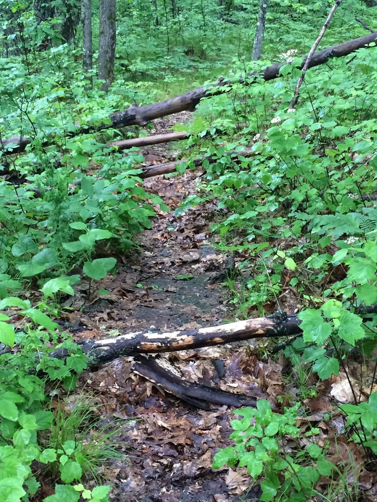
The directional signs were a disappointment and I got turned
around. I can’t really say that I was lost, because a half mile down the trail,
I knew exactly where I was and I knew the exact sign that sent me the wrong way.
 |
| Exactly where am I? |
With a mile left of the hike, I was done. It wasn’t fun anymore. The mosquitoes were ruthless, my
glasses were too foggy, and I had walked an extra mile longer than I intended. I
was also hangry. I planned to
eat at a shelter by the lake, but the bugs wouldn’t let me, so I decided to
wait until I got back to my car.
I learned this trail is also groomed in the winter for
cross-country skiing, so that would totally be worth it and a reason to come back when the bugs were gone. The area is absolutely beautiful and
now that I know the route I wouldn’t be as likely to get lost.

 |
| Ed's Lake |
From Ed’s Lake I headed to Boot Lake Campground.
 |
| Notice how the sign still says only "Nicolet" National Forest :-) |
I wanted to
revisit my childhood and went to the site where I used to camp with my aunt,
uncle and cousin every summer. The memories flooded back to me as I walked
around the grounds. I remembered my uncle teaching me to fish (and I remember
the time a hook got caught in his hand and my cousin and I had to go with him
to the ER). I remembered my cousin and I having special “writing spots”. Hers
was called Kersten’s Kove and mine was Amy’s Avalanche. (Alliteration was apparently everything to me when
I was 9.) I walked the trail that my cousin and I used to recklessly ride our
bikes down. In my imagination I
could still hear our screams of laughter.
 |
| My cousin and I spent weeks swimming at the beach. |
 |
| My uncle taught me to fish on this lake. |
 |
| I used to bike down this trail at full speed, screaming and laughing in joy. |
One summer my cousin insisted we write stories. I hated writing and thought it sounded
like schoolwork (yuck!). But she’s
two years older than me and I wanted to be like her so I put my pen to the paper. I wanted to impress her.
By the end of the week, something in me had changed. There was something intangibly special about the
things I wrote. It suddenly wasn’t a chore;
it was a gift. I’ve been writing
ever since.
 |
| Walking down memory lane. |
As hard as it was to leave memory lane, I had a few more
stops I wanted to make. I headed
across the street to the Jones Springs Management Area.

I had low expectations, since I was
still really irritated with Ed’s Lake. I didn’t want another hike with foggy
glasses and multiple mosquito bites, and decided to make it a quick hike around Fanny Lake. It was one of those pleasantly
surprising hikes that makes me love being outdoors.


If you like hike-in camping, I’d absolutely recommend this
location. The sites are isolated
and on a beautifully calm lake, perfect for kayaking (I mean, when it's not pouring rain).

There are miles of trails (with clear and obvious
directional signs), and I’m happy to report there weren’t nearly as many mosquitoes here.
 |
| Just a pretty picture from my hike. |
It was so beautiful , I decided to make my hike a little longer and headed down the Yellow Trail. Unfortunately, I came across a washed out bridge and had to head back.
 |
My last stop was to Chute Lake County Park to their scenic
overlook.

It’s on the very
southern end of Nicolet National Forest, and on my way home so I figured why
not? It was a very short hike
(less than a mile), and had some pretty views that I’m sure would be stunning
in the fall or on a sunny day.

I don't think the path is maintained all that often due to the obstacle course I encountered trying to use the trail.
Overall, it was a nice, little stop to make before the
long trek home on two lane highways behind slow-moving drivers. Sigh. At least the drive allowed plenty
of time for reflection on my day and memories of my childhood summers.
STATS
Maple and Birch
Trails
Trailhead: Ed’s Lake, County Highway W, west of Wabeno. Look
for a large sign along the northeast side of the highway.
Distance: 4.62 miles
Elevation Gain: 159 feet
Time: 2 hours
Type of Trail: Combined trails to form 1 Loop
Temperature: 57 degrees, light rain

Fanny Lake Trail
(also part of Yellow Trail)
Trailhead: Jones Springs Management Area, Fanny Lake Road, Townsend,
WI 54175
Distance: 1.68 miles
Elevation Gain: minimal
Time: 45 minutes
Type of Trail: Sort of lollipop with extra extension cut short by flooded trail.
Temperature: 59 degrees and raining

Chute Pond Overlook
Trail
Trailhead: Chute Pond County Park, 12436 Chute Dam Lane, Mountain,
WI 54149
Distance: 0.59 miles
Elevation Gain: 77 feet
Time: 16 minutes
Type of Trail: Lollipop
Temperature: 63 degrees, light rain
